
 Image 1 of 1
OPTICAL SENSORS
How do they work?
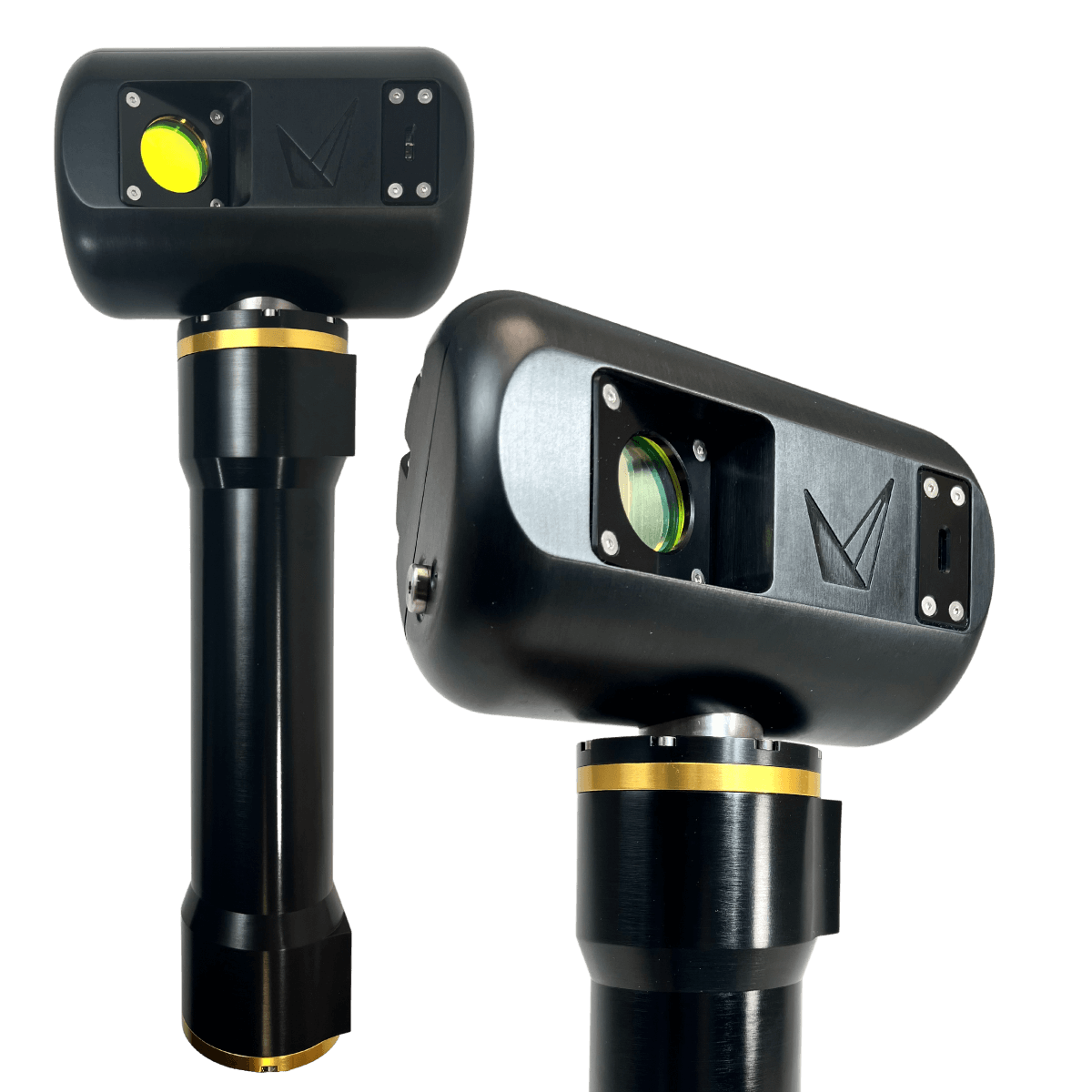
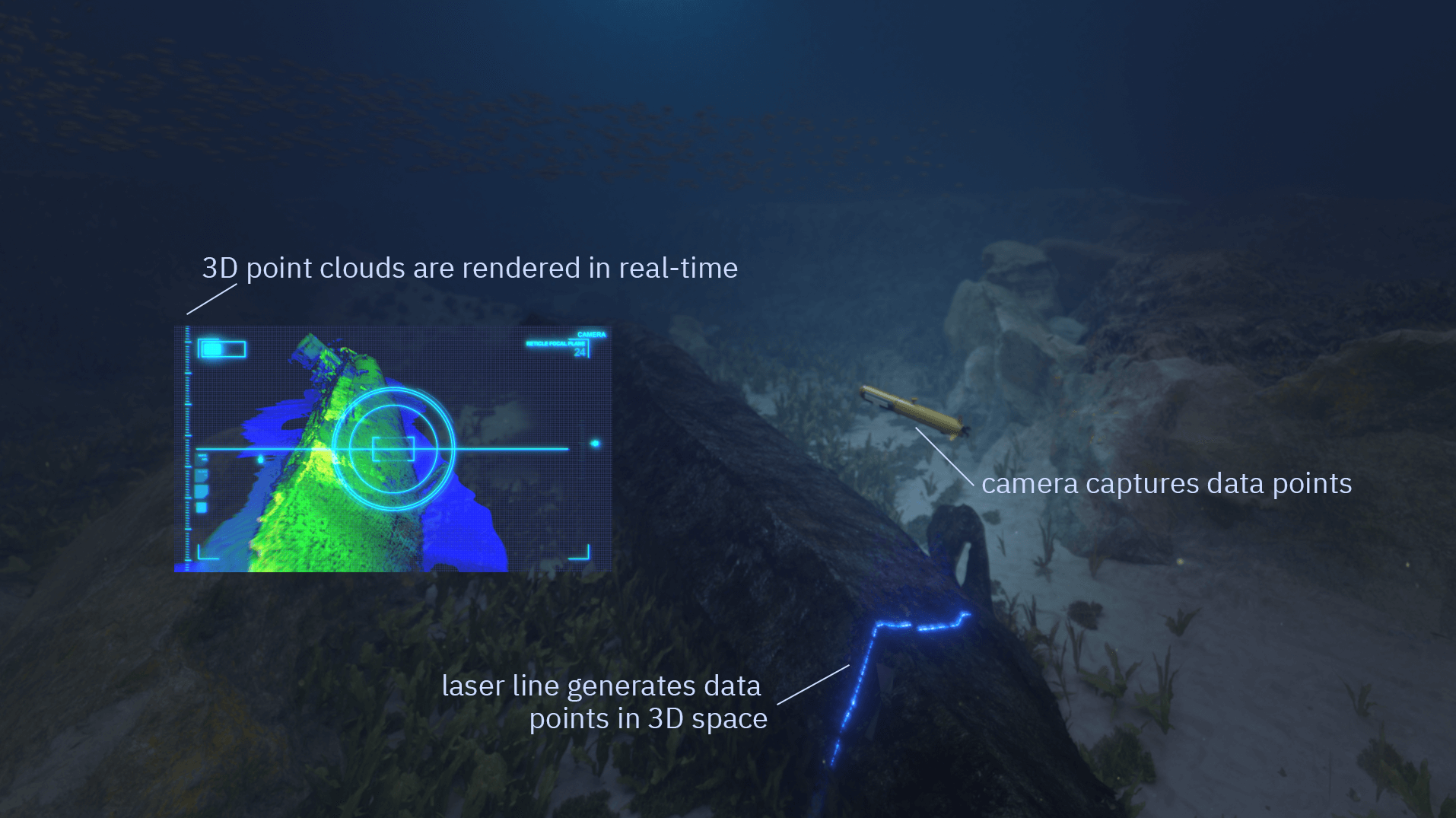
Underwater laser scanners (a form of underwater LiDAR) gather high-resolution optical 3D models instantaneously, without the need for lengthy processing times.
A 50° laser line is swept across the target
Points are triangulated along the laser line
Data points are calculated onboard the scanner
3D point clouds are rendered in real-time
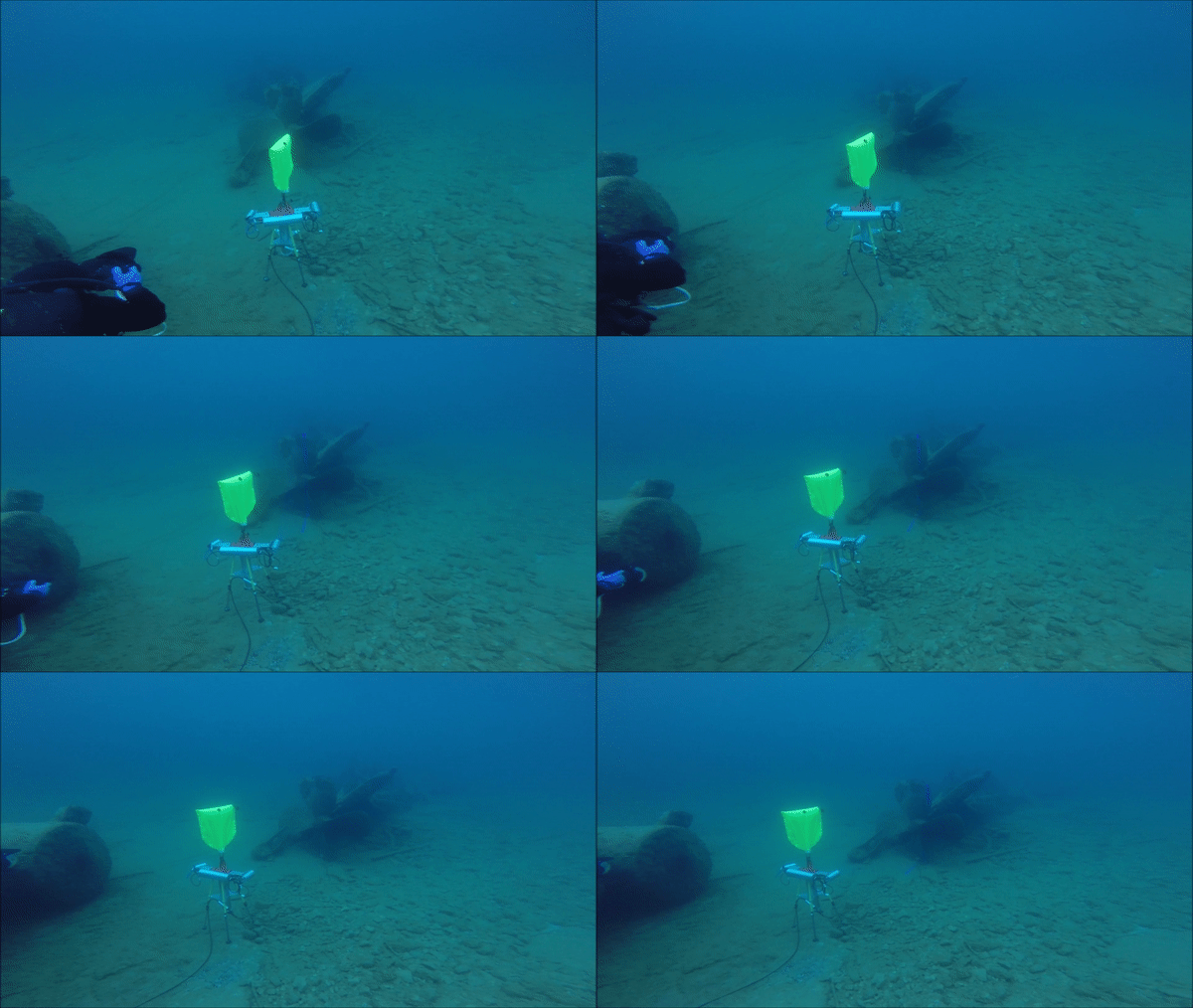
Stationary Scanning
Point cloud results are relative to the scanner’s position. This is typically done using our rotary actuator.
PRECISE SCANNING
Sonar vs. Laser
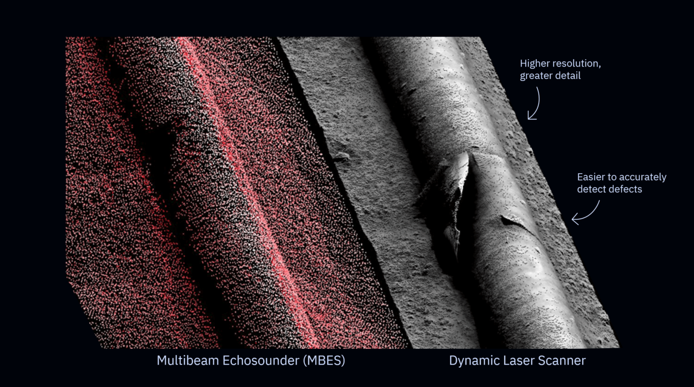
Though multibeam sonar and laser line scanners are operationally similar, laser line scanners capture higher resolution data, generating with over 2000 points per line.
Sonar and underwater laser scanners can work together however, especially in Defence MCM operations, where sidescan sonar is used to detect possible targets of interest, and then optical sensors are used to identify them. The coverage that sonar provides combined with the resolution that laser scanners achieve enables a complete understanding of wide areas.
Dynamic Scanning
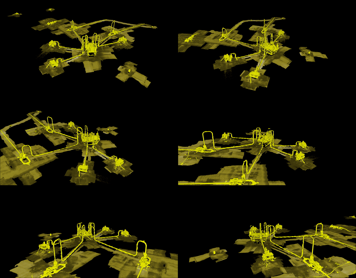
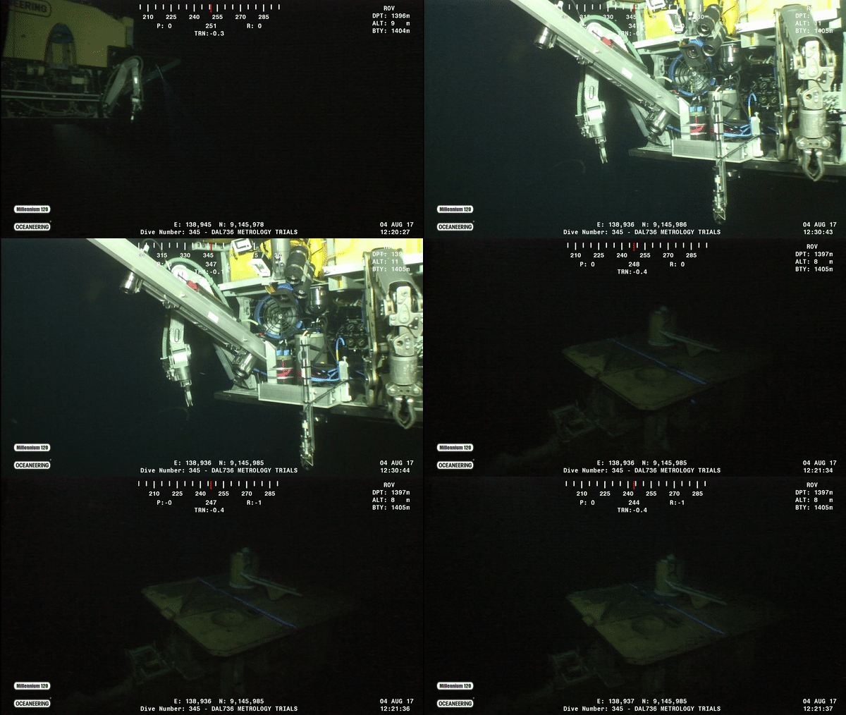
Uses 3rd party navigational sensors to create geo-referenced results. This is typically done from a moving vehicle.
WIDE-AREA SURVEYS
Digital Twins
3D laser data provides virtual representations of your subsea assets, also known as a digital twin. This is especially useful in Offshore Energy applications where wide areas of critical infrastructure need to be monitored.
Data can be used as a baseline for future comparative scans to assist with predictive maintenance, or in Ocean Science applications where tracking changes over time is essential.
Still have a few questions?
-
No vehicle is required – you can use the laser scanner statically using the supplied rotary actuator, or dynamically while mounted to a vehicle.
-
Yes – however there are some differences. Laser line scanning has no moving parts and therefore is more reliable and robust than LiDAR against vibration and impact.
-
The data collected with our underwater laser scanners is saved in a standard format for use with any point-cloud analysis software, including the popular opensource CloudCompare.
-
Our ViewLS software is included which is all you need to collect and enhance your laser data. Our systems are also supported by all industry-leading survey software like EIVA NaviSuite.
-
Yes – the scanning range will be limited by the visibility range in the water column. Talk to our experts about whether your conditions are suitable for optical inspection.
-
When scanning statically, there is no need for additional sensors. For dynamic operations, you will require an inertial navigation system (INS), a doppler velocity log (DVL), a depth sensor, and a conductivity temperature depth sensor (CTD).